Sunday, February 28, 2016

Mt. Challenger Climb & Ross Lake-June 1973

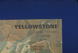
For some unknown reason, Kem and I decided to climb Mt. Challenger in the North Cascades. It looked easy enough and the Becky book didn't deter us. We sure didn't think it through well enough. Youth.  Climbing in North Cascades in June? We didn't have the skill, expertise, and gear for such adventure.

We connected with Denny back in Issaquah for his canoe and soon after we drove the old "Woodstocker" pickup that Dana and I used for our summer fire wood business down to Issaquah. One end of the canoe stuck out and over the cab and the other end stuck out the bed of the truck. It must have been unnerving for drivers behind us.

Our first day consist of having Sharon drive us to Colonial Campground. From there we paddled on Diablo Lake the short distance to Ross Dam. Workers at the dam used their truck to haul us around the dam.

We had the canoe packed and on the water when we realized we had no experience canoeing. Kem didn't seem too concerned. Kem recalls, "In the canoe we had no life jackets.....although the canoe was supposedly "sink-proof," clinging to an overturned canoe, or trying to swim for it in an icy, glacier fed mountain lake is dubious at best. Generally we were smart enough to hug the shore, just for that reason, but we did cross the middle of the lake to get to the East shore where we caught the fish, and cruised up the stream as far as we could go."


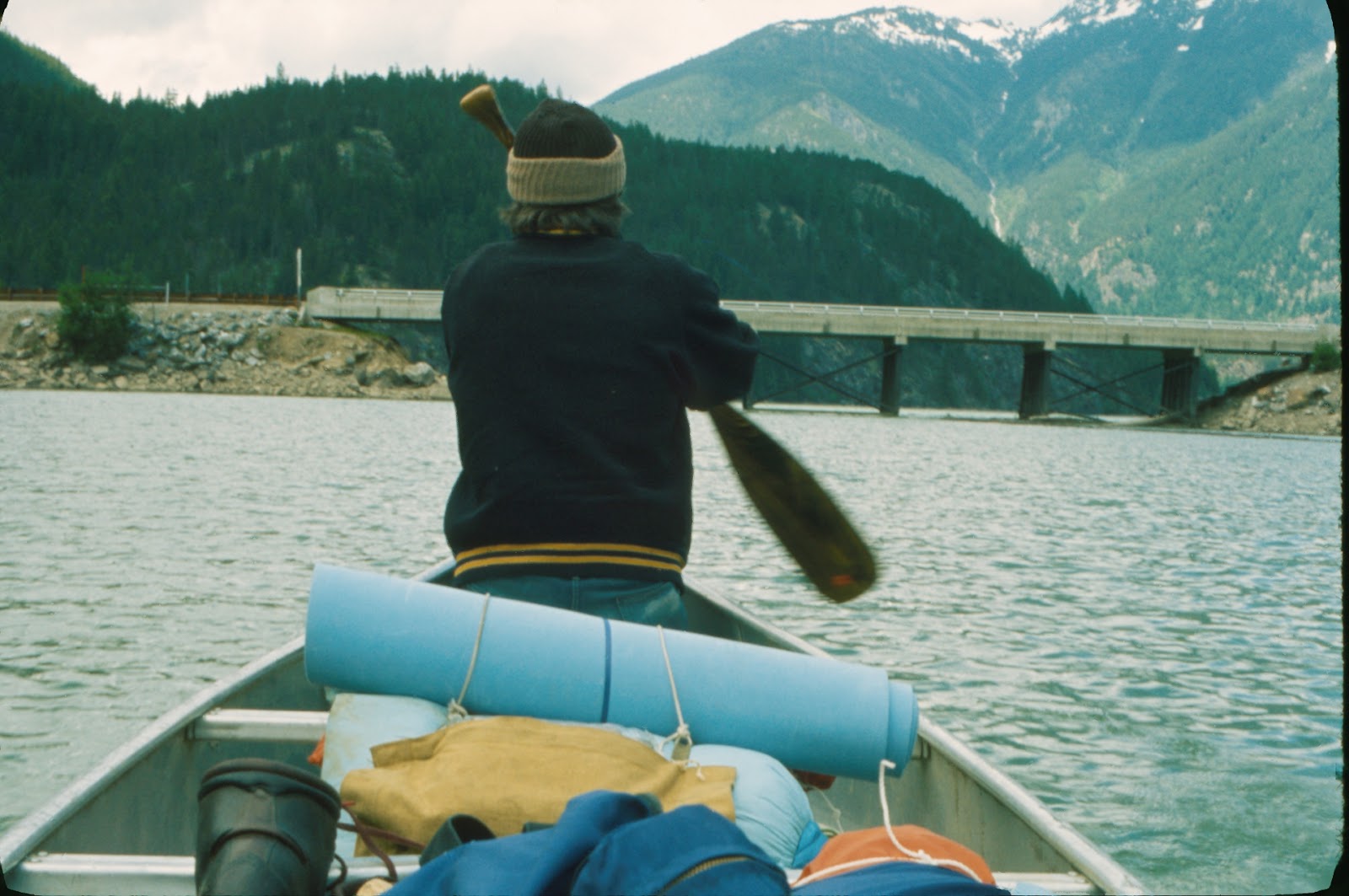
 That is the bridge that carries Highway 20 over Diabo Lake which is below Ross Dam. 

The road we used to haul our gear to the lake took
 us through a tunnel.

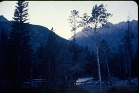
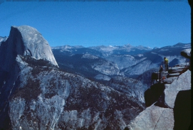
Looking south from the trail we could see Colonial Peak.

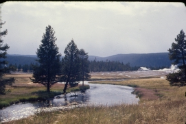
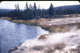
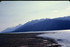
We had calm winds on Ross Lake as we made our way to the trail head at Big Beaver where we spent our first night. That is Big Beaver Creek dropping into a low-level Ross Lake.


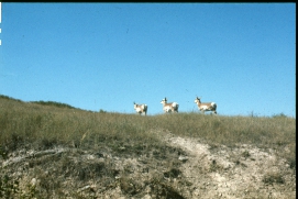
Kem introducing a deer to his cooking. If he had listened to me we would have had venison for dinner instead of that can of chile on the table. Kem recalls: "The deer in the photo was quite bold. I was unpacking our food on the picnic bench when she strolled into camp. Part of our food stock was a large, unsliced loaf of French bread, which was sticking out of the pack. The doe walked up right next to me and grabbed the end of the loaf in her teeth. I spun and grabbed the other end. A tug of war ensued. I "won" in that I came away with the larger piece, approximately two-thirds of the loaf. The doe retreated with her piece."


Our campsite at the trail head.

We secured the canoe away from the campsite for safe keeping. What was the rational for securing it to a tree standing up? Kem recalls, "We were concerned that animals would ravage our food supply while we were off on the climbing part of the trip. We put our extra food stocks in a bag, and tied it to one of seats in the canoe...then hoisted the canoe upright. This put the food eight feet off the ground, plus gave it some weather protection. When we returned everything was as we had left it, except for one full-sized Snickers bar that had been chewed at one end....probably by a rather acrobatic chipmunk. I really wanted that bar, so I sliced off the chewed end with a pocket knife, and ate the rest."


All packed up and ready to conquer Mt. Challenger.

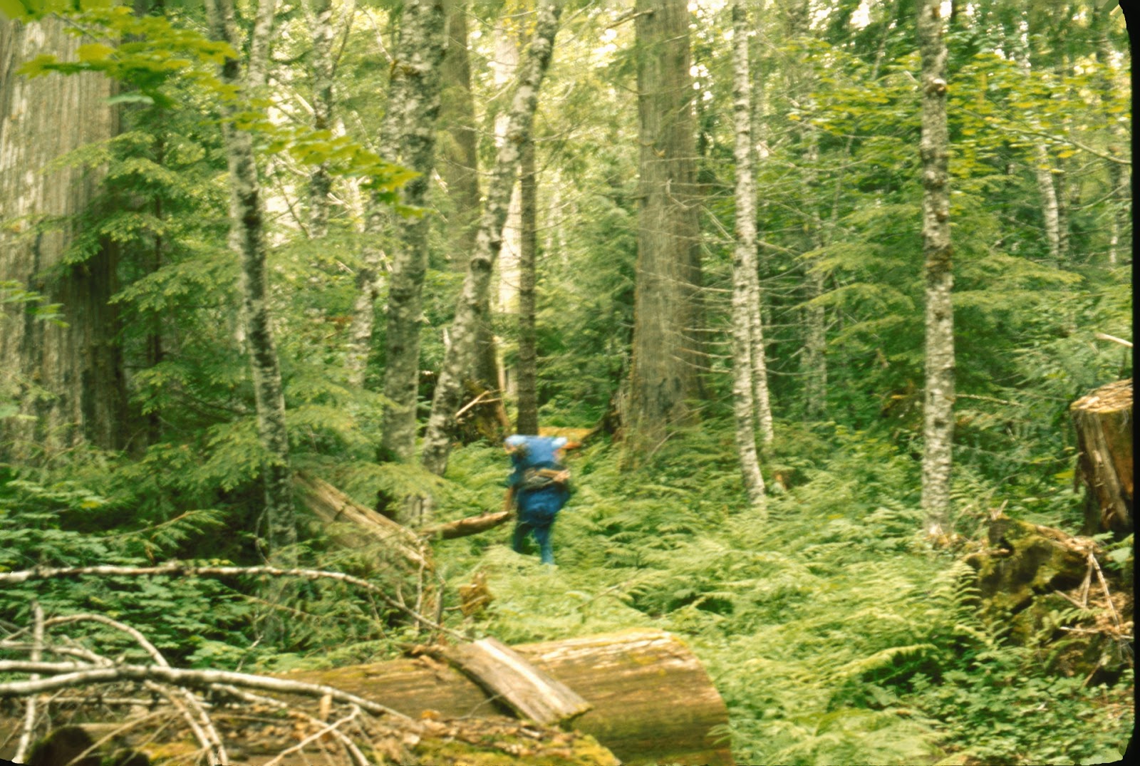
The Big Beaver trail followed the Big Beaver stream. Once through the Douglas-fir stand, we entered the first grove of western red cedar which looked to be about eight feet in diameter. At about three miles was another grove of cedars that seemed to big larger. At five and a half miles we crossed the Thirty-nine Mile Creek which has a shelter for backpackers. It was an easy hike. 

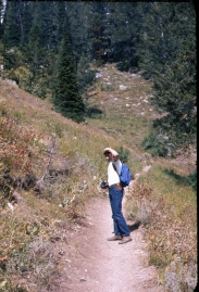
Kem leading out on the Big Beaver trail.

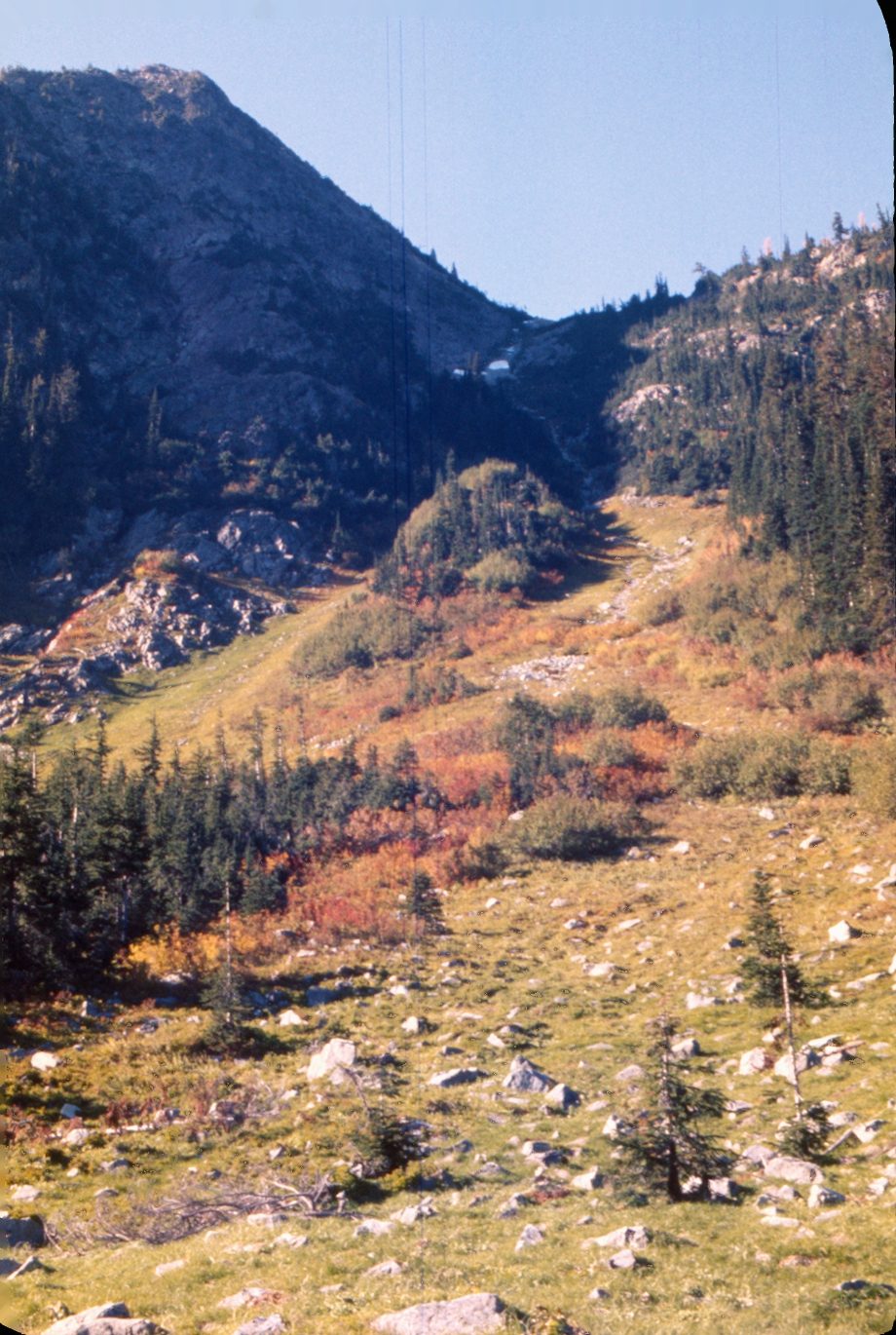
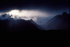
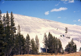
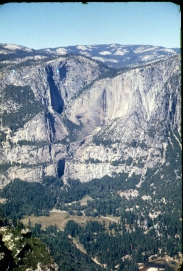
We spent the day making our way up Beaver Creek trail to the shelter. We were using the Mountaineers' guidebook "Routes and Rocks in the Mt. Challenger Quadrangle". It is in my left back pocket in the photograph below. My notes indicate that "Between 300 yards and a 1/4 miles north of the Beaver Pass shelter" we headed west. The guidebook describes it as "[Leave the trail] just south of Beaver Pass and immediately south of two brush slashes coming down to the pass from the west. Climb straight up through brushy woods to the timberline; this is the only unpleasant going". It was tough. Really tough going. The Stones' lyrics "No, you can't always get what you want. But if you try sometime you You get what you need" was stuck in my head as we fought our way up the slope. What a way to pass the day. We finally gained an easy slope south of the crest. Once there we could see the Picketts. We determined then that we could never ascend Challenger safely that day. Nor any day until we gained more experience and proper equipment. We used the clouds coming in over the Picketts as our excuse to abandon our climb.


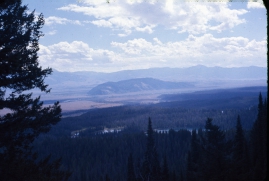
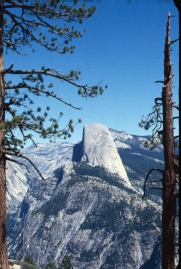
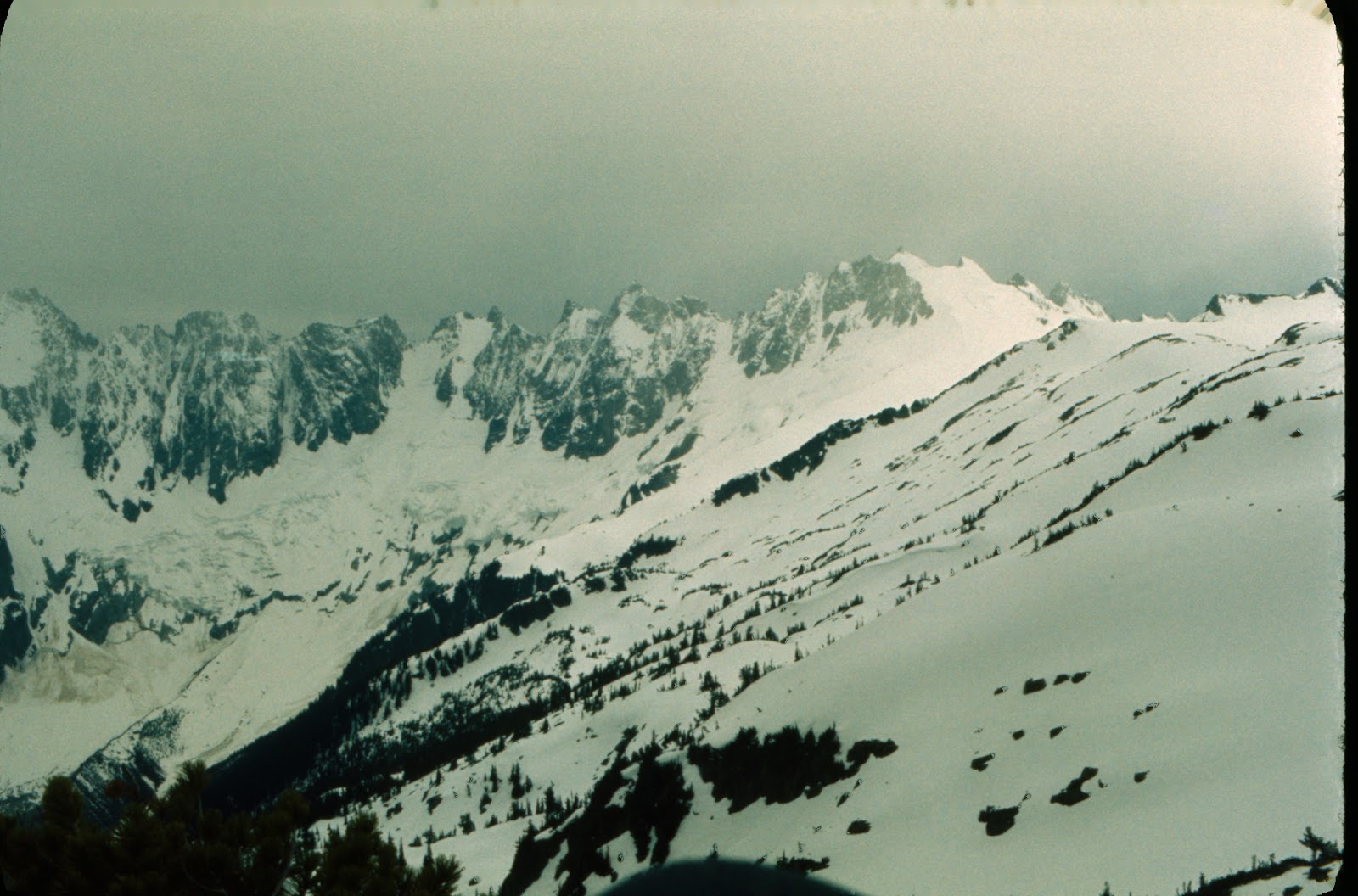
Mt. Challenger is right of center.

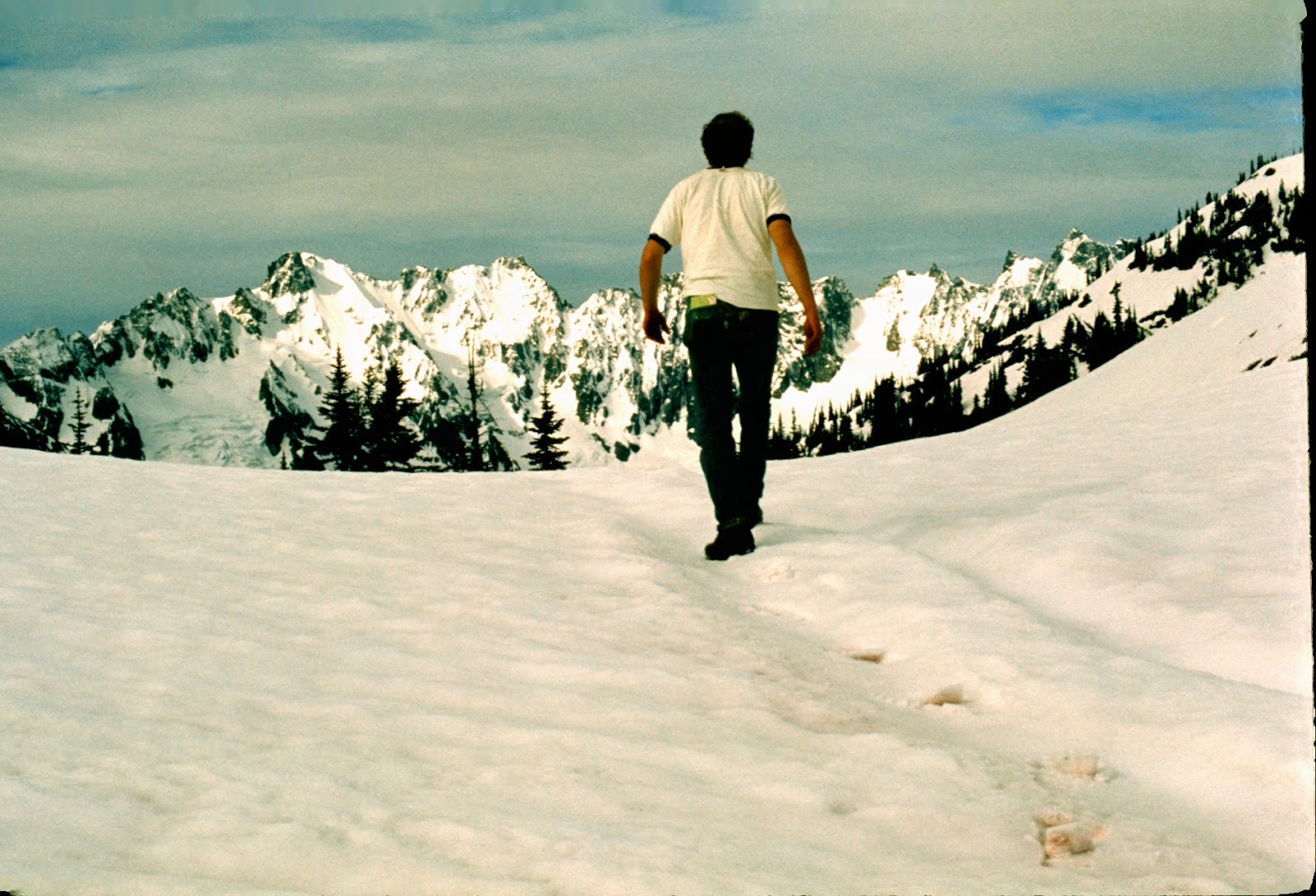
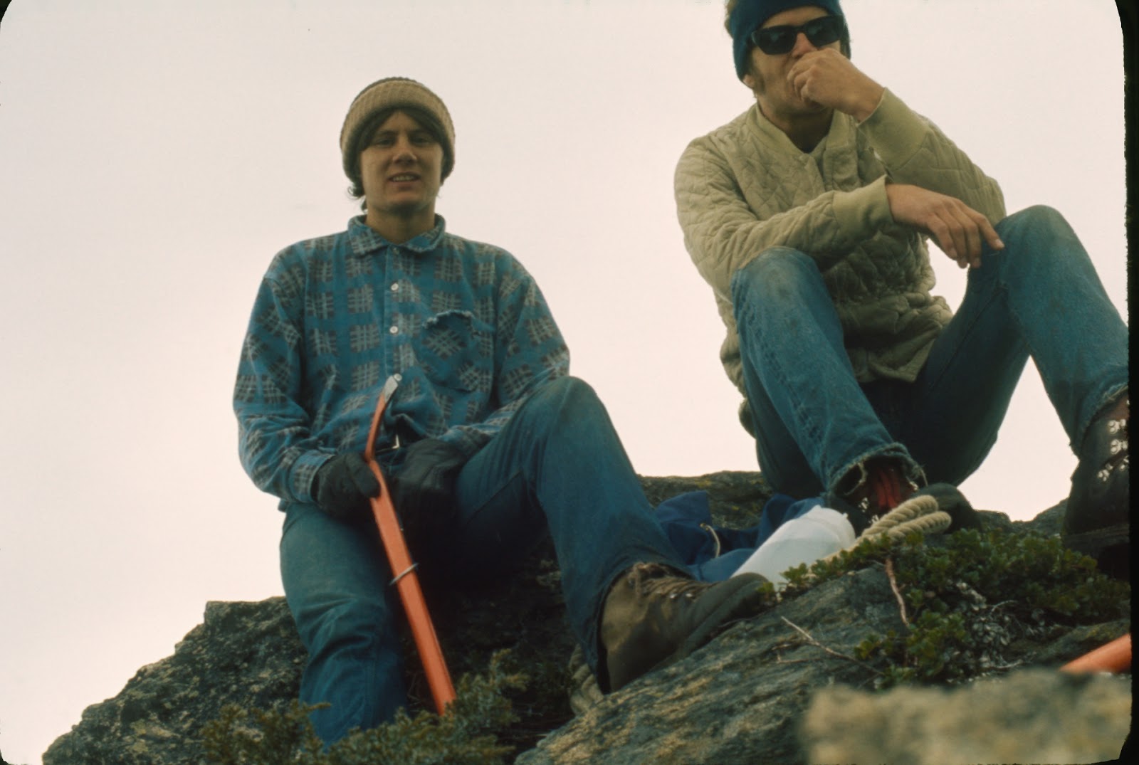
We rested before heading down the snowfield and back into the brush and to Big Beaver trail and the shelter. Kem recalls, "By today's standards, our trip is a text book example of how not to do it. Note the photographs....we are wearing a cotton top and bottom all the time. We wore cotton jeans to mountain climb in. We had no rope, no crampons, no map (that I recall), no extra gear for any emergency....I'm not sure anyone even knew where we were."

We look like we had just received our grades for the spring quarter. Note the rope at my foot.


Kem glissades down the snowfield.

That is Big Beaver valley ahead of us. We had a long way to go.

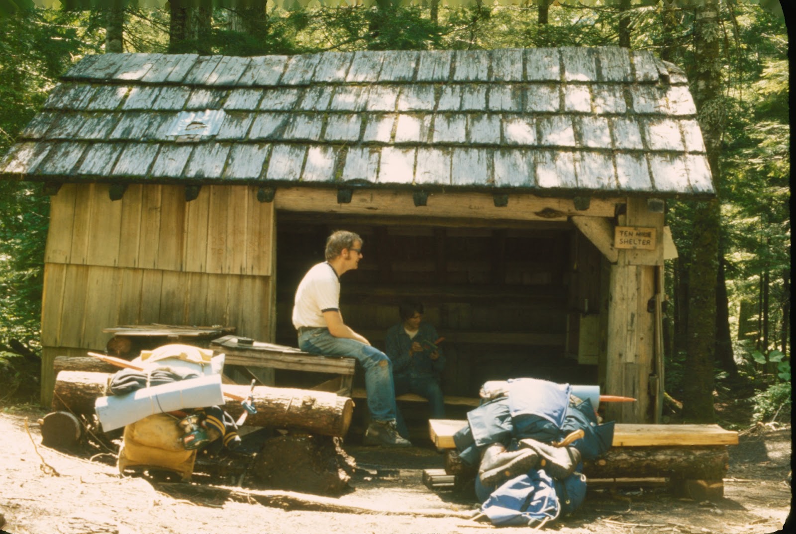
We spent the night in this hiker's cabin. Bored, I looked for something to do.
Kem remembers, "You probably neglected to mention the book I found in that old shelter.  I would read it by flashlight at night.  It was a mystery "whodunnit"...as I reached the end of the book I discovered that you had removed the last three pages and used them to start the campfire.....never did find out who done it."

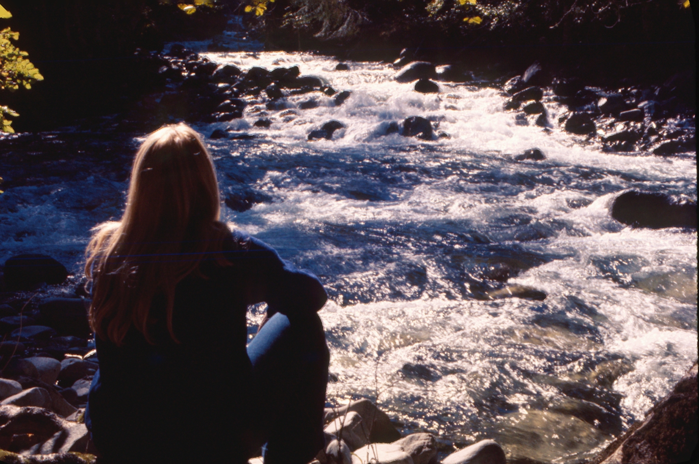
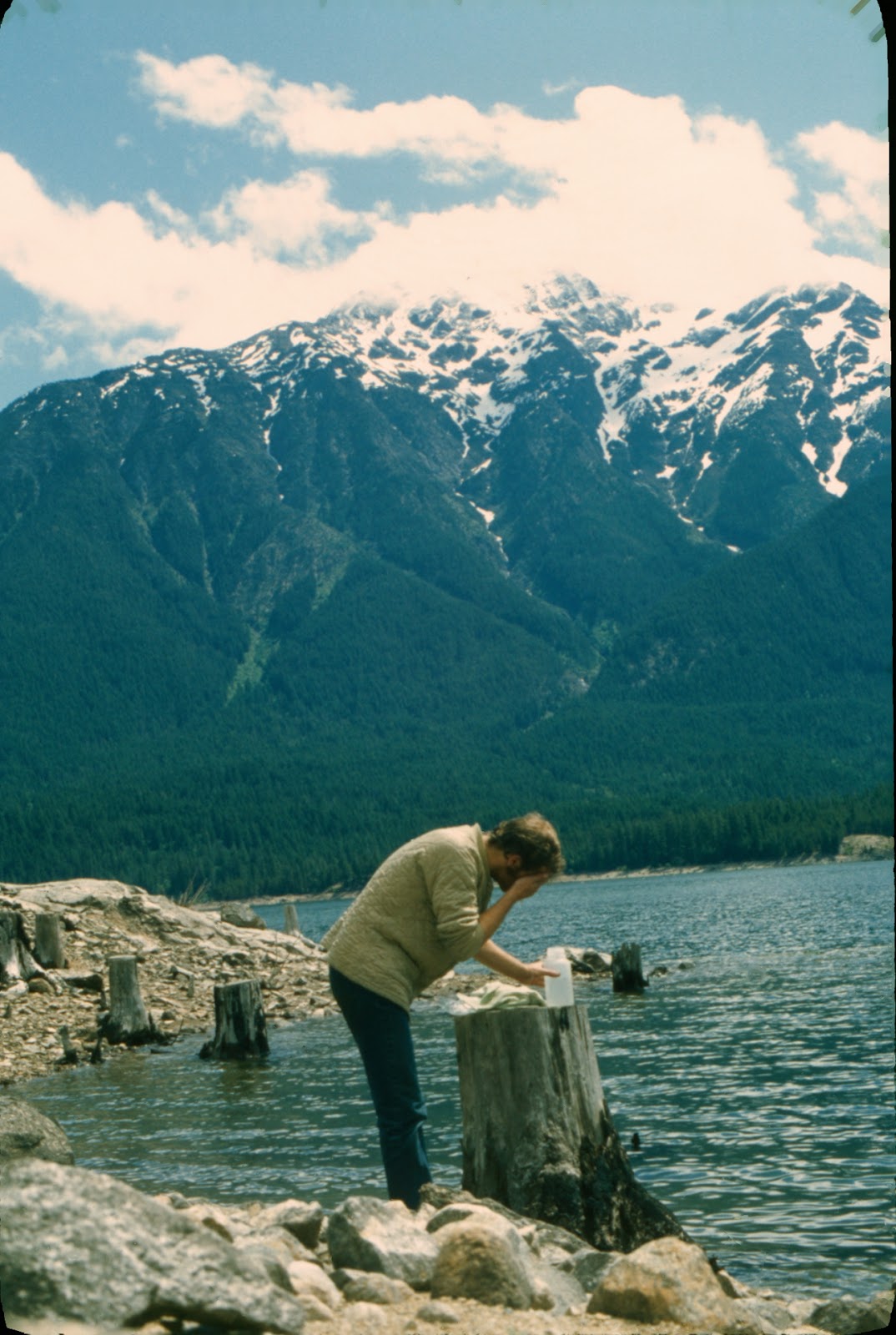
Once back to the lake, I used the cold water to clean up and cool off.

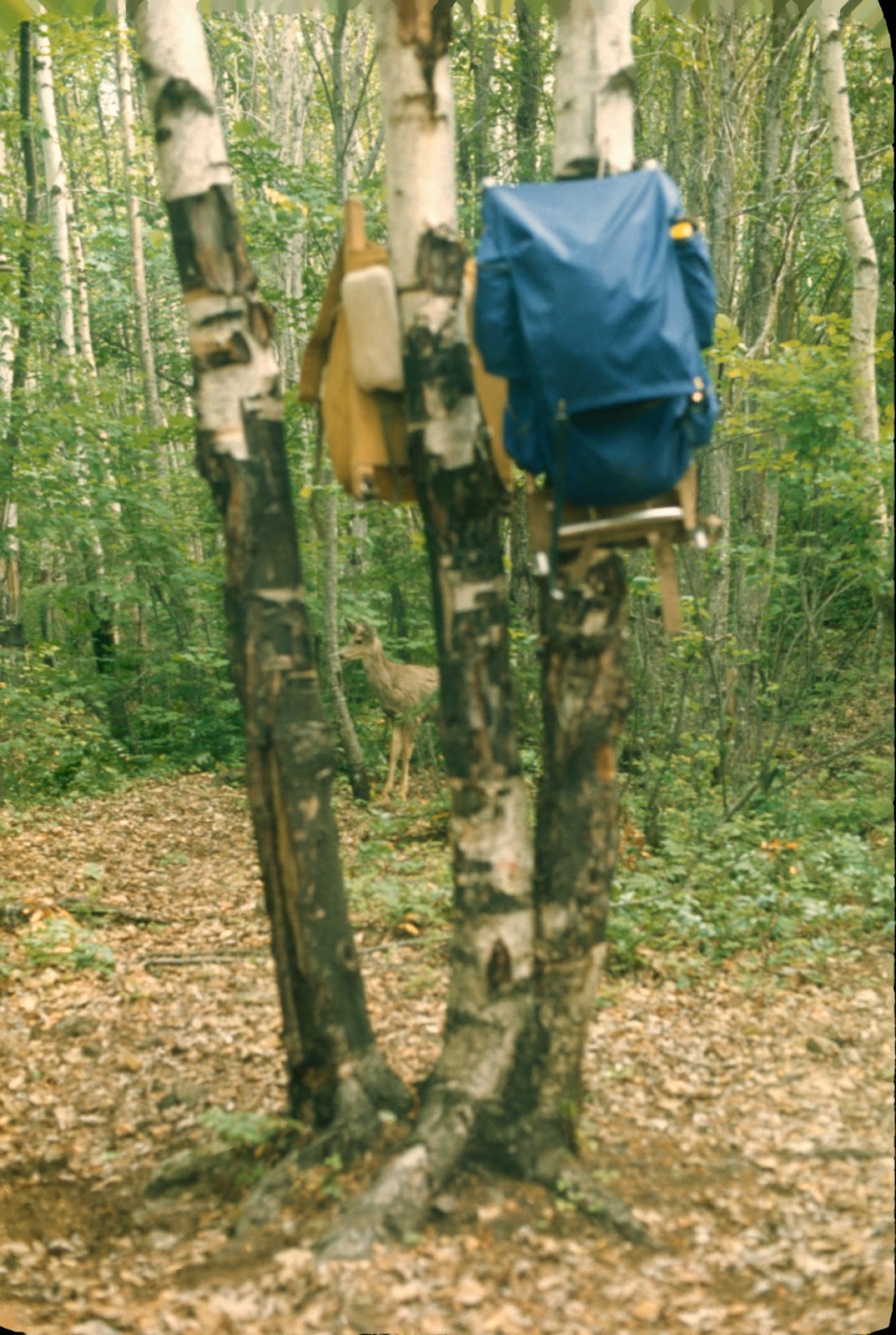
We hung our high-tech lightweight packs away from the critters.

We used the day to rest. Doing so gave us time to discuss plan B.

The next day we headed up the lake to Lighting Creek. We were lucky there was no wind on the lake.
Ross Lake is known for its afternoon winds.

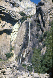
I don't remember how long it took us to get to Lighting Creek. Once we saw the opening we turned into it and paddled all the way to a waterfall. We turned the canoe around and Kem took a photo of me as if we had just paddled the falls. I lost that photo.

My guess is those are fish Kem caught. "Here bear, here bear."
Kem remembers, "I caught the trout we ate with a flatfish lure trailed out behind the canoe on a hand line. We got two nice big ones, each about 17 inches each. The fish were caught off the mouth of a stream, right next to a buoy with a "no fishing" sign....the stream mouths were off limits because the fish congregated there and that made them easy to catch, as proved by our success. We pan fried those two fish and ate the meat. Not sure what we did with the heads, bones and skins, but the scent of fish cooking should have brought every bear within eight miles....can't believe we didn't get raided that night."

The next day we paddled back to Ross Dam in a wind storm. Once we arrived at the dam we helped ourselves to hauling our gear and canoe around the dam. There was no crew or truck. When we finished our paddle to Colonial Campground, Kem decided to hitchhike back to Bellingham for the truck. He recalls, "I don't recall a coin toss. I think I was just more ready to get back to real food and a soft bed than you were.....my hitch hike trip was an adventure from hell, all on its own...I got picked up by a crazy bastard from the South driving a super stock Dodge, just like the little ole lady from Pasadena...he had his 17 year old girlfriend in the front seat, a confederate flag on the bumper...his mother was in back, with me...we headed down that winding road, never under 75 miles per hour, drifting through the corners, then roaring down the straight stretches at near 100...I kept looking at his mom, my eyes practically begging her to say something, but she just smiled back like 'never you worry'.... When they reached the junction with I-5, I asked him if they were headed North, or South.  He said, 'North....' 'Aw geez,' I said, 'I'm headed South,' and got out.... As soon as they were out of sight I hitched a ride, North, with a tug boat skipper who gave me a ride all the way to our house."

My version is that we called Sharon and she picked us up at Colonial a few hours later. There must have been a phone at the campground. I remember her disappointment on the phone that we were coming home early. Kem and I spent hours on the beach waiting for our pickup and discussing that. Oh, well.

Overall, we chalked it up as a learning experience.  It was a long time before we tried another climb.


Kem sums it up nicely: "On the bright side we had plenty of food, and I don't recall being cold. Any trip that you survive is a good trip, and it certainly was an ambitious adventure."

Saturday, February 27, 2016

North Cascades Highway-September 1972

While Sharon and I were on our road trip, the new North Cascades highway opened to traffic on September 2, 1972. We drove it sometime after returning from our trip and did a short hike. I don't remember where we hiked that day.

This is the Skagit River somewhere near Marblemount.                                                                          

Sharon sitting next to Ruby Creek.


We must have made it past Washington Pass that fall day. The larch were in their glory.


I believe this was Rainy Lake at Rainy Pass.

You have to love those hiking shoes.

Two easy going hikers enjoying the weekend outing.


By the time we arrived in Newhalem, it was dark. Seattle City Light provided a narrow walkway that passed visitors through a gorge of roaring water and high cliffs. They positioned colored lights in the rushing water and on the rock cliffs throughout the walkway. It was very dramatic. It was a fun day of exploring.

Friday, February 26, 2016

My First Road Trip-September 1972

During the summer of '72 Sharon and I decided to take a road trip for a few weeks to experience the national parks before our fall classes started at Western. I don't recall how much time we spent planning the trip or which of us purposed the trip. We did have all the necessary gear for car camping and my trusty old 1967 Volkswagen Bug. The car got a final tuneup from a local in Bellingham and I purchased a cargo rack and an Igloo cooler from Sears. It was my first experience on an extended road trip and certainly my first experience in the national parks outside of Washington State. I had seen the photographs of the iconic landmarks and I could not wait to experience them. I was excited.

Sadly, many details of the trip have left me except one. Because my paycheck had not yet arrived, my bank account was nearly empty. I had spent the summer working and going to summer school and living from paycheck to paycheck. Sharon showed her disappointment and frustration when I told her about my lack of wealth and that we may have to postpone the road trip. After discussing the situation, she declared she would pay for the trip. I think gas was around 52 cents a gallon. Bread was at 25 cents a loaf. A six pack of Rainier went for $1.65. Motel 6 would give you a room for two for $8. My rent was $44 a month. My car payment was $52.53 a month. Tuition was $88 a quarter. It is 2016 as I write this narrative, and I still owe Sharon $300 for my half of the expenses.

Sharon and I left for Montana on August 30, 1972. The route may have been Highway 2. Our first goal was Glacier National Park. I was excited to see all the landmarks I had heard about and had seen in photographs. I had no idea how this road trip would influence my desire to travel in the future.

This was one of many gift shops we experienced along the way. I must have seen something 
metaphoric in the wood carving and the tourist seating near it.


We spent many hours in the Bug and sharing the driving duties helped pass the time. Neither one of us were conversational. We must have endured many miles of quiet time. The old car never let us down.

I was so very young. At the time I was still working on my degree to become a teacher. Why a teacher? Sharon and I had spent a weekend at her parents' home in Poulsbo in order to watch her brother match up in a basketball game with O'Dea's Clint Richardson, future NBA player. After the game we were sitting in the bleachers waiting for her brother to appear from the locker room and she asked me what I wanted to do with my visual communications degree. I don't remember my response. What I do remember is Sharon saying something about "why not teach and coach?" The seed was planted. Once back on campus I redirected my course load for a teaching degree. 

This trip inspired me to travel during the summer months of my 30-year career as a teacher. Now, my wife, Ellen, also a teacher, and I travel to hike, kayak, mountain bike, photograph landscapes and explore little known locations.


Soon inside Montana we encountered this cowboy and his horse and wagon.

I was mesmerized by this character and had to stop and capture both the cowboy and the horse. 
To me, at that time, they represented The West.

 After a long day in the car we finally made it to Glacier National Park. Today's Google Maps indicate it was a 10 hour drive to our campsite from Bellingham. We covered 642 miles the first day.

We arrived early evening and found a river to explore so we could stretch ours legs. Sharon had her own camera. I do not remember sharing our photos with each other.

Our first morning in Glacier found me waking up in the tent late in the morning. I am in there somewhere. Sharon must have been preparing breakfast.

We camped near Lake McDonald either at Apgar or Sprague campgrounds. My money is on the latter. We used the morning hours to soak in the warmth of the fall sunlight along the south shore of Lake McDonald. It was warm. It was dry. It was different. It was beautiful.

Throughout the trip, the clouds always caught my eye. We were driving the Going-To-The-Sun road and were thrilled by the clouds flowing over the mountains.

It was like watching a river flowing over rocks.

The mountains were spectacular as we drove toward Logan Pass. I now call this kind of photography "drive-by shooting." They are photos shot from the car. I had very little skill as a landscape photographer.


If I remember correctly, this was shot at Logan Pass on the Going-To-The-Sun road.


Our second camp was a short drive farther east to Rising Sun campground. We used my backpacking tent for late arrivals and the green tent, which was Sharon's, for days when we arrived at a campsite with plenty of time to set up. Sharon prepared every meal whether it was a car snack or something to eat while hiking. Note the red cooler. A bear destroyed it in Yosemite in the late 80's.

The day's short commute gave us an opportunity to hike on that second day.

I don't recall the trail we hiked.  Did we not use day packs? How did we carry our gear, food, and water?

Many times Sharon had no idea I had photographed her. She always seemed to be deep in thought. Not distant but pensive. I enjoyed her good sense of humor, intelligence, and her independence. She was not a complainer. She loved her beer. 

We shared a snack alongside a river at our turn around point.

It looks peaceful.

We drove south out of the park on Highway 89 and toward the Gardiner entrance to Yellowstone National Park. Google Maps indicates it is 383 miles to the North Entrance. I am using the graphics I had originally made for a slideshow back in '72. Bare with me with their use.

This was our first experience with the Yellowstone geysers.


I believe this is Kepler Cascades located south of Old Faithful Village. We did a long day hike and found the squirrels to be amusing. We had stopped along the trail under some pine trees to have lunch. As we sat there we heard things falling from the tree we were under. The squirrels were dropping pine cones and small rocks on us. They were trying to chase us away from their area. We laughed and talked about that the rest of the day. Day packs?


This was my first view of the famous and scenic Madison River. Even today, I admire how the river flows through the valley. 

Our first buffalo sighting prompted Sharon to gain a better view.

I was excited to see my first buffalo in the wild.

This is why we went to Yellowstone.


I wonder if we had lunch at this cascade on the way to the north entrance of Grand Tetons National Park.

Yellowstone was a long drive. The drive to the Tetons was one of our shortest.

We found Jackson Lake in the evening light. We must have camped at Colter Bay campground.

Again, those beautiful cloud formations caught my eye as we drove parallel to the Grand Teton range.


This was one of the landscape icons I had always wanted to visit ever since my photography professor introduced me to the works of Ansel Adams. This shot is of the "S" curve made famous by Ansel Adams. In his photograph you can see the "S" curve created by the Snake River. Not in mine.

We drove to various locations throughout the park that entire day. 


We had this site to ourselves. It was beautiful but at midday, too late and too early for the golden hour color. When I retired I visited this spot on many an early golden hour shoot, fighting dozens of other digital photographers for the perfect location. It still dazzles me.


On the second day we hiked. This was our early morning drive to Jenny Lake Trailhead.

We did a long, long day hike on the Jenny Lake Trail on that second day in the park.

Along the Jenny Lake trail we found great views of the valley below and the mountain range above us. Is that a day pack?


Sharon prepared our last dinner in the Tetons after a long day of hiking.

The next morning we headed out for Salt Lake City. I wanted to experience the Mormon Temple. I have no slides of the visit but I do remember three events from that visit. One, the tour of the temple was fascinating. The lighting on the statues made them look even more grand. The huge murals loomed over us. They were impressive. Two, in town the pavement at stop lights was soft and puffy due to the heat of the day. Three, in our motel room we anxiously watched the Munich Massacre. That was September 4, 1972.

We encountered clouds hanging above Bear Lake in Utah as we headed to Salt Lake City.

The following day we drove toward Yosemite National Park. It was our longest drive of the trip. Did we stop somewhere and camp? The next slides are in sequence according to their stamped numbers. Did we experience two sunsets along the way?

We drove west toward Winnemucca, Nevada. We must have stayed there.


I am guessing this is near Carson City. Or, did we stop at Brodie, California?


We entered the park from the east via Lee Vinning and Tiago Pass.

Granite domes, green forests, and blue skies greeted us. This is Ansel Adams landscape.


Sharon was stretching her bell bottom pants to their natural length after sitting in the car for hours.

Look at the cargo bin on top of the car as compared to the above photo.

I love hiking in this kind of scene.

Not far off the Tiago Pass road we found the beautiful blue waters of Tenaya Lake which was surrounded by slopes of granite and pine forest. It was one of the most beautiful scenes I had ever experienced. 

We spent two days camping in the valley at the Village campground. We had no problems securing a campsite due to the season. It was after Labor Day and early in the 70's. Now you need a reservation months in advance in order to camp in the valley.

The following photos were of the various Yosemite icons from the valley floor. For first time visitors it was stunning.


We spent time at the base of El Capitan trying to spot climbers and their headlamps in the evening light.

We drove to Glacier Point to take in the grandeur of Yosemite Valley.
From 3,000' above the valley we could see all the icons.

Granite sculptures were everywhere, left eons ago by glaciers.

Sharon worked the composition of Half Dome as I composed my own.

The view from Glacier Point entertained us for hours.

A mid-day view of Half Dome from Glacier Point. On a later trip I climbed to the top via the backside cable route. The first time I actually crawled out on the lip and forced myself to look over the edge. The second time was with some friends and none of us could venture out on the lip.

Evening reflections in the slow moving Merced River near our campsite kept me occupied for hours.

Morning reflections in the slow moving Merced River near our campsite kept me occupied for hours

From Yosemite National Park we headed west across California to San Francisco. No slides survived of our adventure in the big city. I do remember exploring and finding the famous Lombard Street and driving down it. We didn't cross the Golden Gate Bridge. We continued on to Highway 101 and followed it up the coast, camping along the way.

I was trying to keep the fine sand out of my camera.

We finally made it to Astoria and headed back toward I-5 and on to Bellingham and fall classes. I don't recall how many days we were on the coast.

 We did get back to Bellingham before classes started. Being two introverts we were probably ready to get out of the car and away from each other.

According to Google Maps the total mileage for the trip was about 3,354 miles not including our mini scampers to various viewpoints and trail heads in the parks. Total cost was $600 according to Sharon. I'm in debt to her for my share of the expenses and for sharing the wonderful life-altering experience with me. 

The trip inspired me to experience more of our country's beautiful landscapes. When I retired from teaching, I threw myself into landscape photography.